Malta's unique geographical position makes accurate weather forecasting a challenge, but despite the complexity, weather forecaster Brian Micallef said that the Meteorology (Met) Office has continued to work on its forecasting accuracy.
Micallef spoke to The Malta Independent on Sunday on the process behind the island's short-term weather forecasting.
Each summer, people in Malta remark that the heat feels more intense and persistent, but how does this perception hold up against the actual meteorological data?
Micallef shared figures for June and July, noting that this summer has brought some notable heat events.
"The mean temperature in June this year was 28.8°C," Micallef said.
"From the 6th to the 19th, and again from the 21st to the 30th, most of the month saw temperatures above the norm. The maximum temperature reached 35.6°C on the 9th, and the highest temperature for the month was 41.5°C. So overall, June was warmer than average," Micallef explained.
In contrast, July presented more of a mixed picture. "From the 1st to the 8th, the 14th to the 16th, and the 18th to the 26th, we recorded temperatures above the mean, but the rest of the month was below average, making July more balanced overall," he added.
Asked how the Met Office defines and tracks a heatwave, Micallef said it is officially recognised when temperatures reach five degrees above the mean for that month and persist for three or more consecutive days.
For public warnings, the Met Office has established an agreement with the Health Ministry.
"When the temperature reaches 33°C, we issue a yellow warning. Between 33°C and 35°C is yellow, 36°C to 39°C triggers an orange warning, and anything 40°C or above, we issue a red warning," he said.
There is often public frustration when weather forecasts do not pan out, or when weather conditions shift unexpectedly. Micallef acknowledged this and explained why.
"Most of our forecasts are accurate, with some small deviations in temperature," he said.
"I compare forecasting weather in Malta to hitting a dartboard, it is easy to hit the board, but hitting the bullseye is much harder. Our small island is surrounded by sea, and we are affected by the Atlas Mountains to the west, Sicily to the north, and the desert to the south," Micallef said.
He said that Malta's size and location in the central Mediterranean pose unique forecasting challenges.
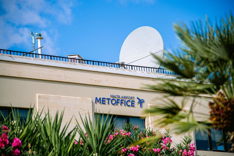
Micallef explained that small-scale variations can create different weather across the island.
"There can be showers in the south while the north remains dry. Some people may think that it is a mistake from our part, but it is why we sometimes forecast isolated showers or the possibility of rain," he said.
"There are also cases where it rains out at sea and never reaches the island," Micallef said.
To increase accuracy, especially during unstable weather like sudden summer storms, the Met Office uses multiple forecasting models and technologies.
"We rely on two main Numerical Weather Prediction (NWP) models, the UK's global model and the ECMWF, which is a European model," Micallef said.
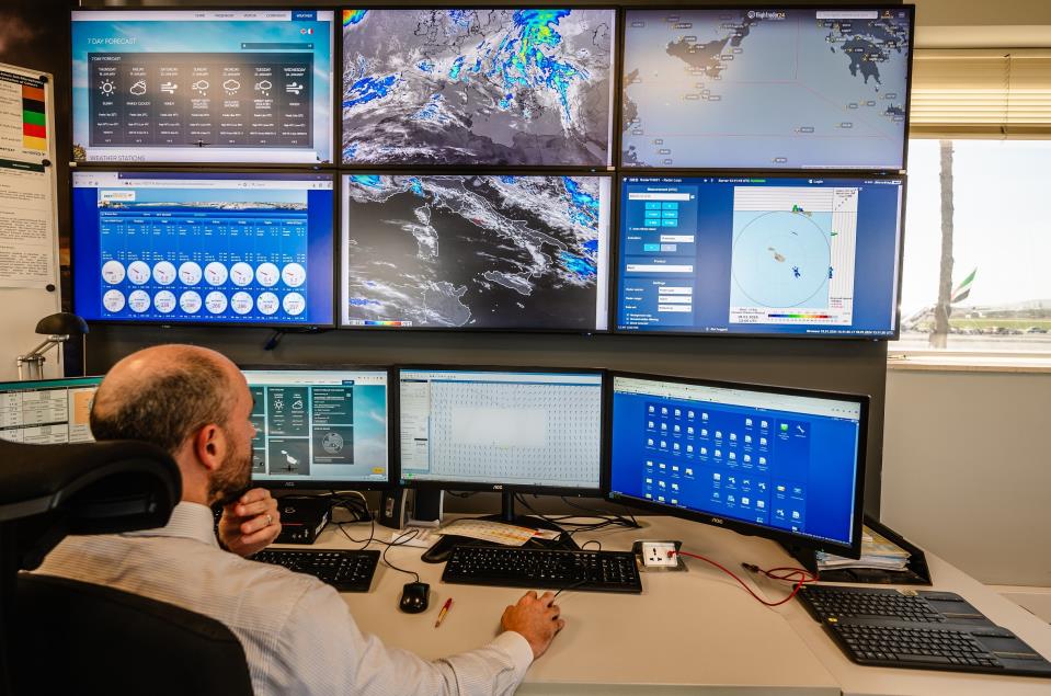
"We also monitor Automatic Weather Stations (AWS) across Malta and Gozo. These measure wind, temperature, and rainfall," Micallef said.
In addition, a weather radar system helps detect and track precipitation, Micallef added.
"The radar picks up rain droplets, measures intensity, identifies the cloud type - whether it is rain, showers, or thunderstorms - and predicts the direction and movement of the rain, including whether it will hit the island or miss it," he explained.
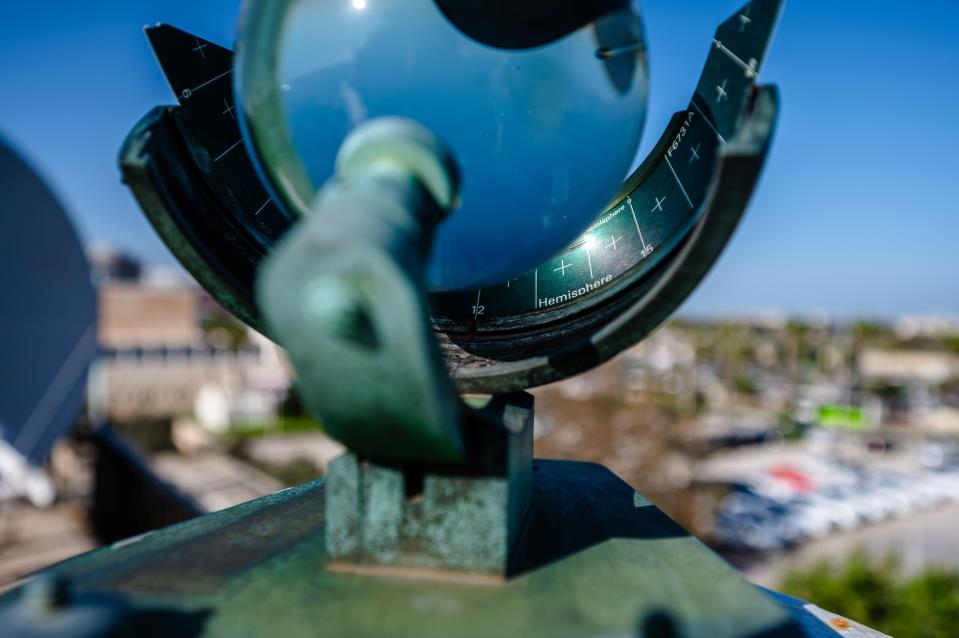
Sunshine recorder - Photos provided by the Met Office
When the forecasting models deviate, Micallef said the office leans toward the model that best reflects current conditions.
"When both models align, the level of certainty is high. When they diverge, we issue forecasts like 'a possibility of' or provide a range," he said.
He added that the Met Office provides forecasts for both the public and the island's airfield.
In aviation weather forecasts, probabilities are expressed using terms like "PROB30" and "PROB40," indicating a 30% or 40% likelihood of specific weather events.
People talk about the weather 'feeling different' year by year, and Micallef was asked how much of that is reflected in the office's observational data, and how much of it is perception.
"To calculate a mean, we use data spanning 30 years. If we compare the averages from 1961-1990 to those from 1981-2010, we see that maximum temperatures have increased," he said.
"So, it is not just a perception. The mean temperature is rising," Micallef said.
When it comes to rainfall, there has not been a significant long-term change, but temperature is where the office is seeing the most noticeable shift, Micallef said.